Meet the Plotter: Navigation That Grew Out of Your Data
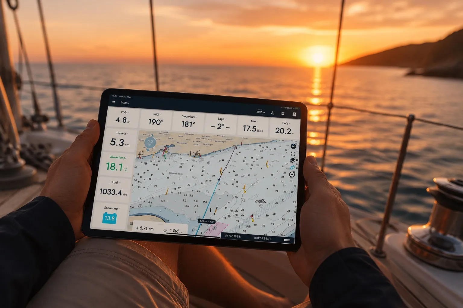
Smartboatia was never meant to be a navigation system. We wanted to turn your boat's sensor data into real value: an automatic logbook, trim tips, keeping an eye on your boat, even when you're away. But once you bring live boat data, nautical charts and a live map together in one place, the next step writes itself. That step is the plotter.
One screen, everything that matters
The plotter is a dedicated navigation screen with live instruments right next to the map. Connect to your Hub and it opens automatically. So you’re never more than a glance away from your position, your course and the data that matters right now.
Route planning made easy
Draw your route with the built-in distance tool: a multi-leg ruler that snaps to your GPS position. For each leg, you instantly see distance, bearing and estimated time of arrival based on your current speed. Waypoints you’ve passed drop off the route automatically, so your plan always shows what’s still ahead.
Your data, your way
Instead of a fixed layout, the plotter gives you an instrument bar you can set up to suit your sailing style. Swipe through more views like the round instrument, your logbook and, on sailboats, trim effect, trim tips and your boat’s polar diagram.
Choose from a growing range of widgets, for example:
- Distance and ETA to the next and final waypoint
- Course over ground and bearing to the next waypoint
- VMG and target VMG from your polar
- A wind and compass rose with ground wind direction and apparent wind
- Pointing angle and speed through water
- A logbook status field that takes you straight to your logbook
Want your battery voltage next to your course, or your polar performance next to your ETA? Arrange exactly the widgets that matter to you and leave the rest out.
Made for life underway
Drag your anchor point right on the map to reset your alarm zone. Zoom in far enough to see your position and nearby objects in detail. Tap an AIS target for its details without losing the map, and now see AIS aids to navigation too: buoys, beacons and lights your AIS receives, with type and status.
Charts and polar data both work offline. Once downloaded, your charts stay with you without a connection, and the app loads your polar on board straight from the Hub, no internet needed. Your Hub just needs to have been connected to the Smartboatia cloud once.
Part of the bigger picture
The plotter isn’t a separate app bolted on top. It’s the home screen for everyone with a connected Hub. It sits right alongside your logbook, your trim tips and your boat monitoring, all built on the same data from your boat.
Right now, the plotter covers nautical charts for Germany and the USA, included with a subscription. More regions are on the way. Step by step, the plotter is becoming a real co-pilot for the whole trip, not just a quick look at the weather before you cast off.
Fair winds!
How the Hub helps
With the Hub, your phone or tablet becomes a plotter, on board even without internet.
More from Smartboatia explained
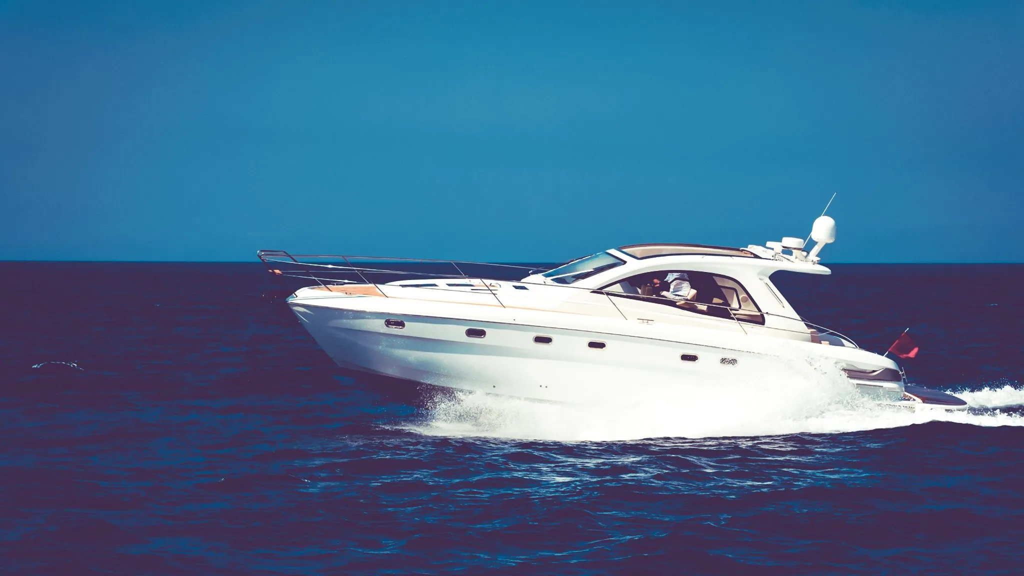 Smartboatia explainedMotorboat Monitoring with Smartboatia: Now Under Engine TooMotorboat mode, logbook, anchor watch and battery alarm, on board and from afar.approx. 4 min
 Smartboatia explainedTurn Data Into SpeedPolars from your own trips, trim tips and manoeuvre analysis.approx. 3 min
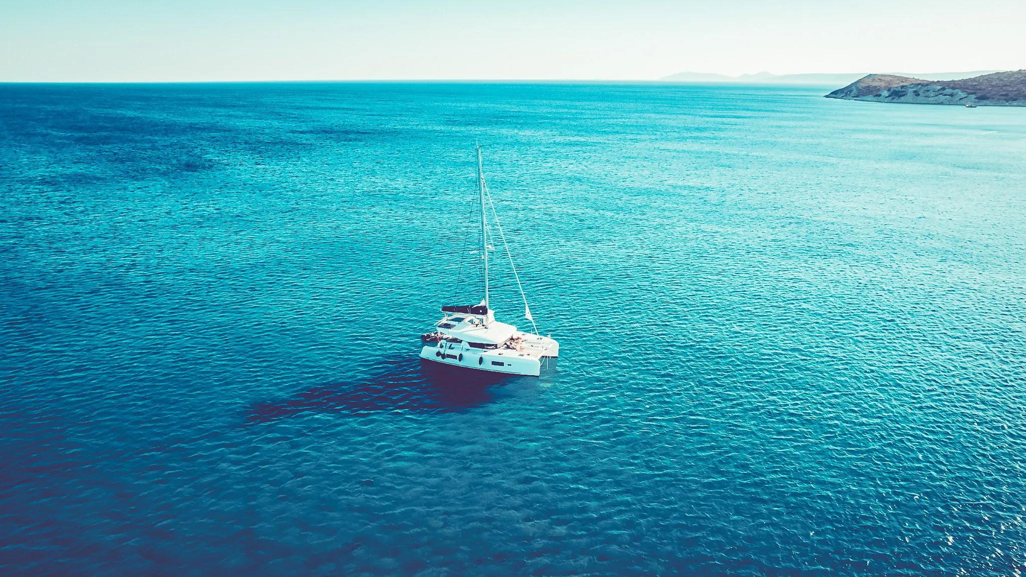 Smartboatia explainedThe Smartboatia Logbook: No Time for Paperwork? Enjoy Automatic Sailing RecordsCasting off, anchoring, engine, manoeuvres: all in the logbook automatically.approx. 4 min