All boat data. One app. Your mobile chartplotter.
With the Smartboatia Hub, your phone or tablet becomes a chartplotter: nautical charts, AIS, instruments and your boat's live data in one app. Use it alongside your existing plotter or as your main navigation on board.
- Nautical charts in the appWith a Standard subscription, currently for Germany and the USA. More regions coming soon.
- AIS with CPA
- Built-in Wi-Fi multiplexer
Your boat. Now with the full picture.
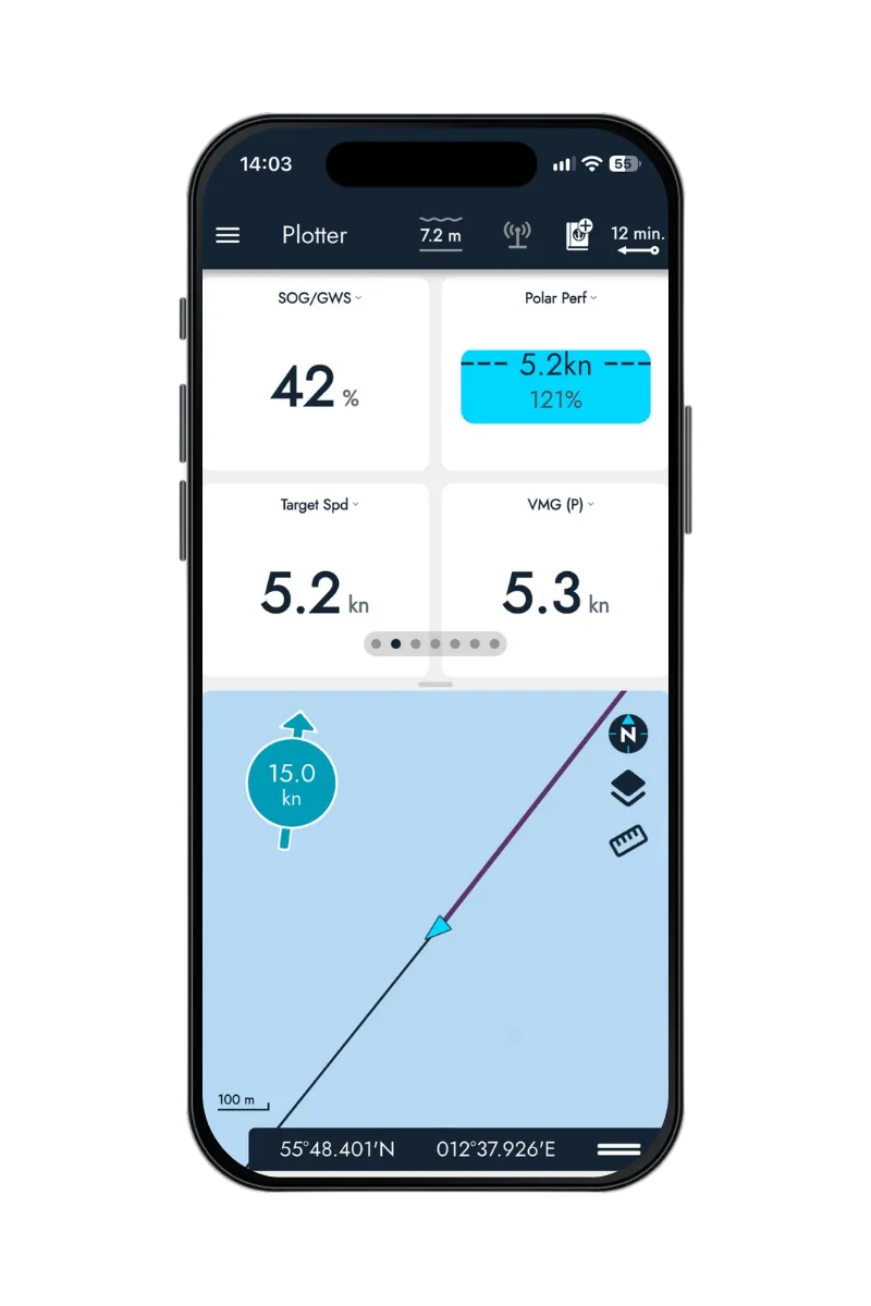
Wind at the masthead, depth at the transducer, position via GPS: your boat produces data all the time, spread across different instruments and displays. Keeping track often means looking from one display to the next.
Smartboatia brings this data together, processes it and makes it available everywhere. Your devices stay displays. Your boat gets smart.
Everything from your boat. All at a glance.
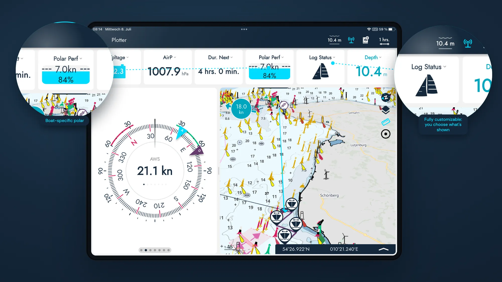
The Hub reads the data already on board and brings its own sensors where something is missing. So on board you have the same data at hand everywhere, on any device.
- Straight from the boat
What the Hub reads
Position & course, recorded continuously
AIS targets straight from your AIS on board, with CPA and TCPA
Wind, speed & depth, straight from the onboard network
Heel, motion & air pressure, from the Hub's own sensors
- Everywhere on board
Where you see your data
On your phone or tablet, live in the app
On several devices at once, all with the same live data
On your plotter: the Hub sends its own readings such as air pressure, position and heel to your instruments via NMEA 2000
In your navigation app: thanks to the built-in Wi-Fi multiplexer, any app that reads NMEA 0183 over Wi-Fi gets your boat data
More than a plotter app.
Many navigation apps only show what your phone knows. Smartboatia shows what your boat measures. And brings everything you need to navigate:
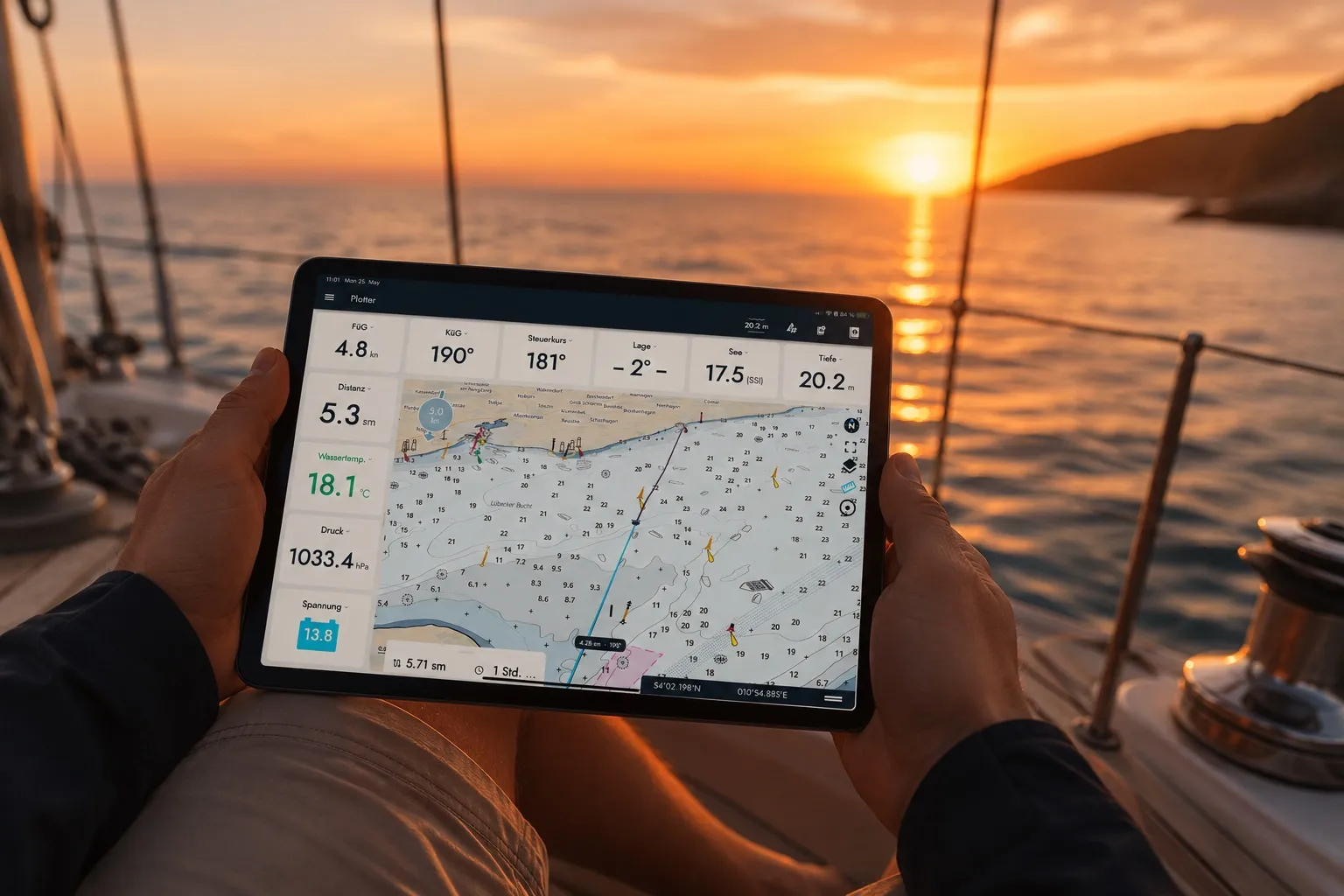
Nautical charts right in the app. Germany and the USA are included with a Standard subscription, more regions are on the way.
Offline maps. Download areas of up to about 200 × 200 nautical miles and use them without a signal. The base map needs no subscription.
AIS with CPA and TCPA. See at a glance how close a ship will get and when.
Measure distances and plan a simple route. Set up to 50 points, with distance, bearing and ETA to the next waypoint.
33 instruments to choose from. Set up your instrument bar the way you need it, separately for phone and tablet.
Everything goes into the logbook. Your track and what your boat did, automatically.

Your instruments. In your hand instead of at the helm.
At the helm, in the cockpit, below deck or relaxing in your bunk: your boat's live data is always with you. No walking back to the plotter. Just a quick look at your phone or tablet.

“We never set out to build a chartplotter. But after countless conversations with sailors, one question kept coming up: ‘Can Smartboatia navigate too?’ So we listened and turned the data we already had into a complete navigation experience.”
You decide how you navigate.
The Hub brings its own sensors and reads data from your onboard network at the same time. Wherever you are on board, your live data is just a glance away.
- App + Hub
The complete setup
The Hub on board, the app as your main display. Own sensors plus your boat's NMEA 2000 data, all in one app, live and in sync.
- Hub → plotter
Chartplotter Plus
Already have a plotter on your NMEA 2000 network? The Hub connects your existing equipment to Smartboatia and sends its own readings such as air pressure and heel to your plotter. On top of that, your phone or tablet becomes a mobile plotter.
- Hub → navigation app
Wi-Fi multiplexer
Already using another navigation app? The Hub is also a Wi-Fi multiplexer, a data hub on your Wi-Fi: it sends position, course, depth, wind and all AIS targets as NMEA 0183 over the onboard Wi-Fi to any app that can read it. No internet and no subscription needed.
Works with what's already on board.
From sailing yachts to motorboats: the Hub connects to your onboard network, reads existing data and adds its own sensors where they're needed.
- Protocols
- NMEA 2000In and out
- NMEA 0183 over Wi-FiIn and out
- SeaTalkNG / SimNetAdapter cable
* Older NMEA 0183 devices without Wi-Fi need a gateway to NMEA 2000 or an NMEA 0183 multiplexer with Wi-Fi.
- What the Hub brings
- Heel & motionSensor
- Battery voltageSensor
- Air pressureSensor
- GPS positionSensor
- From the onboard network
- AISBus
- Wind speed & directionBus
- DepthBus
- Water temperatureBus
SENSOR: built into the Hub
BUS: your own instruments, read from the NMEA network